Soil Intelligence
for Enhanced Rock Weathering
We help ERW project developers identify profitable project sites and cut measurement costs by up to 60% using remote sensing data.

We help ERW project developers identify profitable project sites and cut measurement costs by up to 60% using remote sensing data.
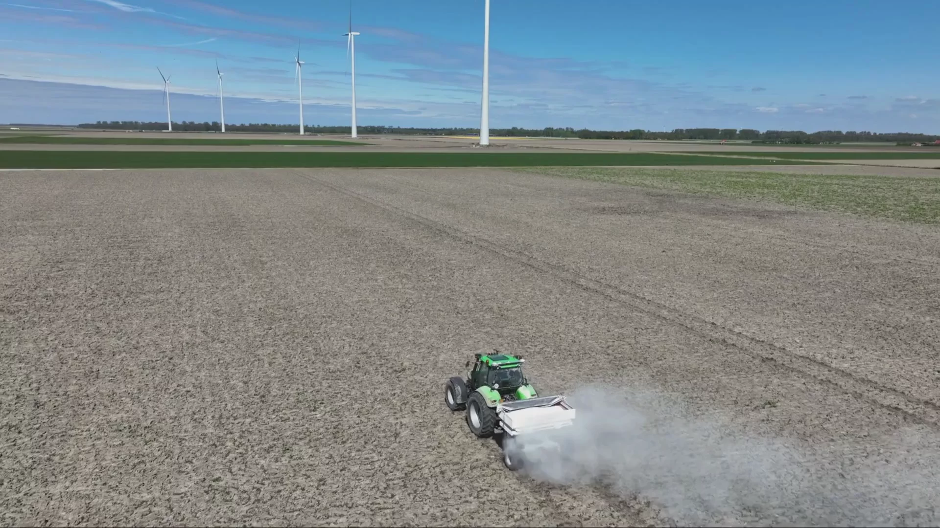
Enhanced Rock Weathering has the potential to become a scalable and cost-efficient carbon removal pathway. In practice, two unresolved challenges dominate project economics and execution.
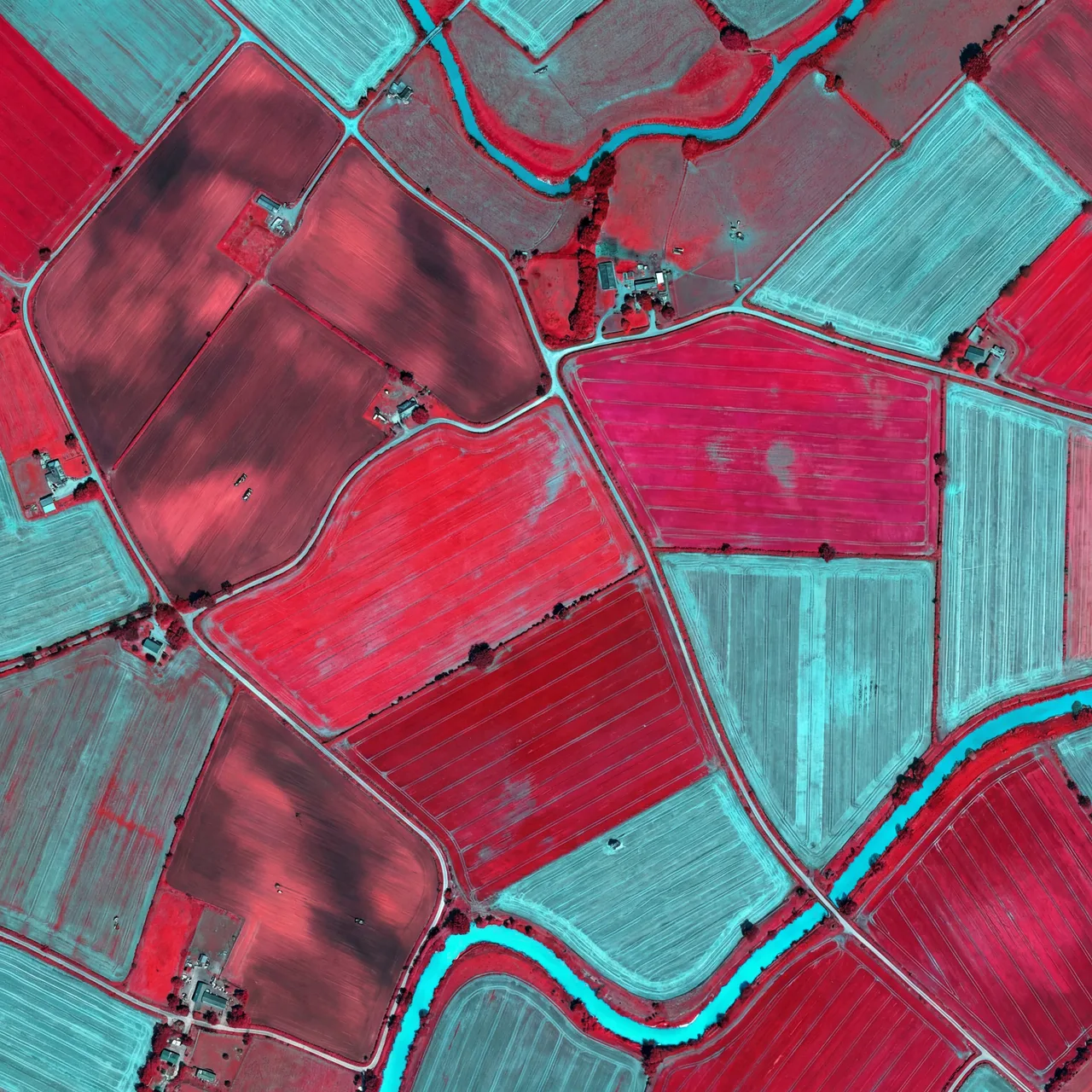
AEROC provides a data-driven soil intelligence layer tailored to the specific requirements of Enhanced Rock Weathering. By combining multiple sensing technologies, we enable better decisions early in the project lifecycle and significantly reduce project costs.
cost reduction for site scouting and initial soil assessment
reduction in overall project costs
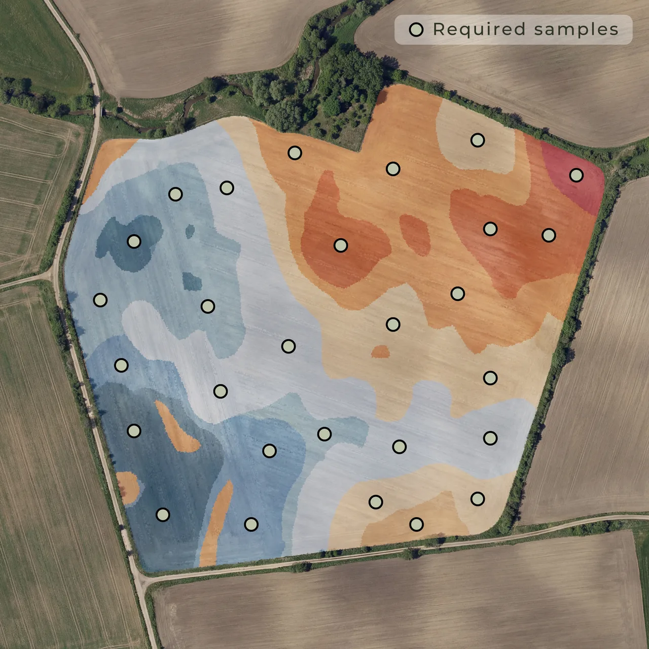
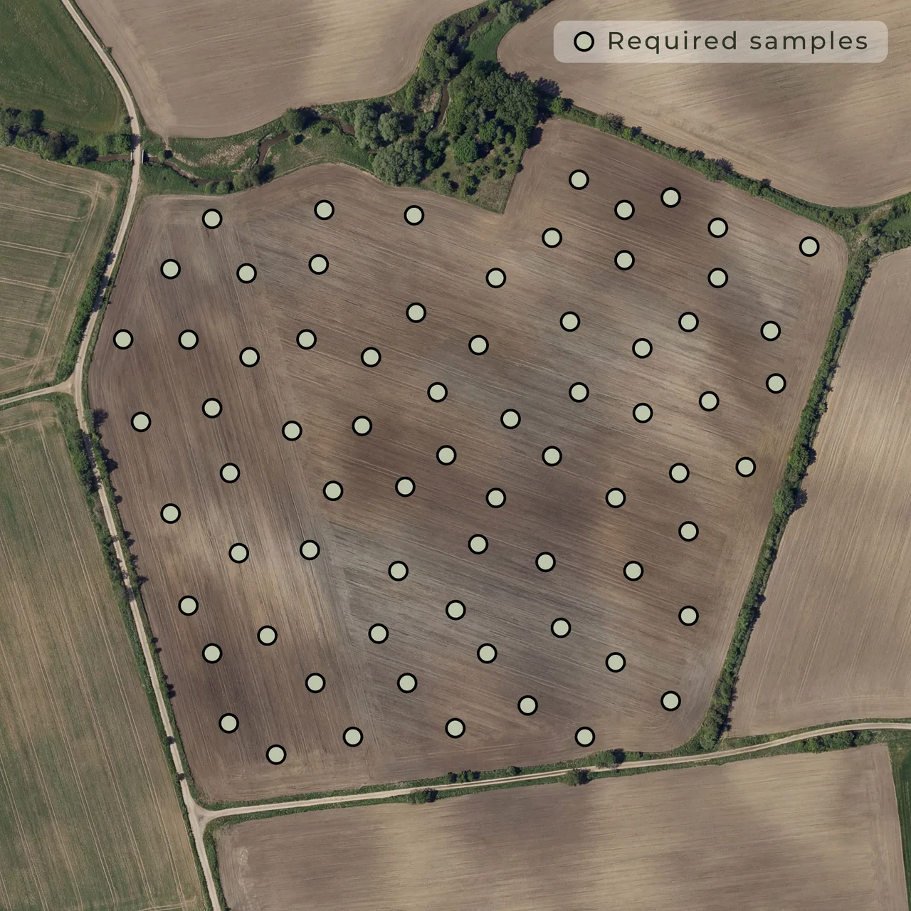
reduction of required soil samples over the project lifetime
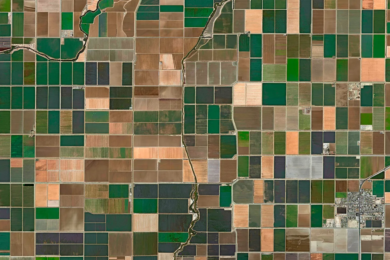
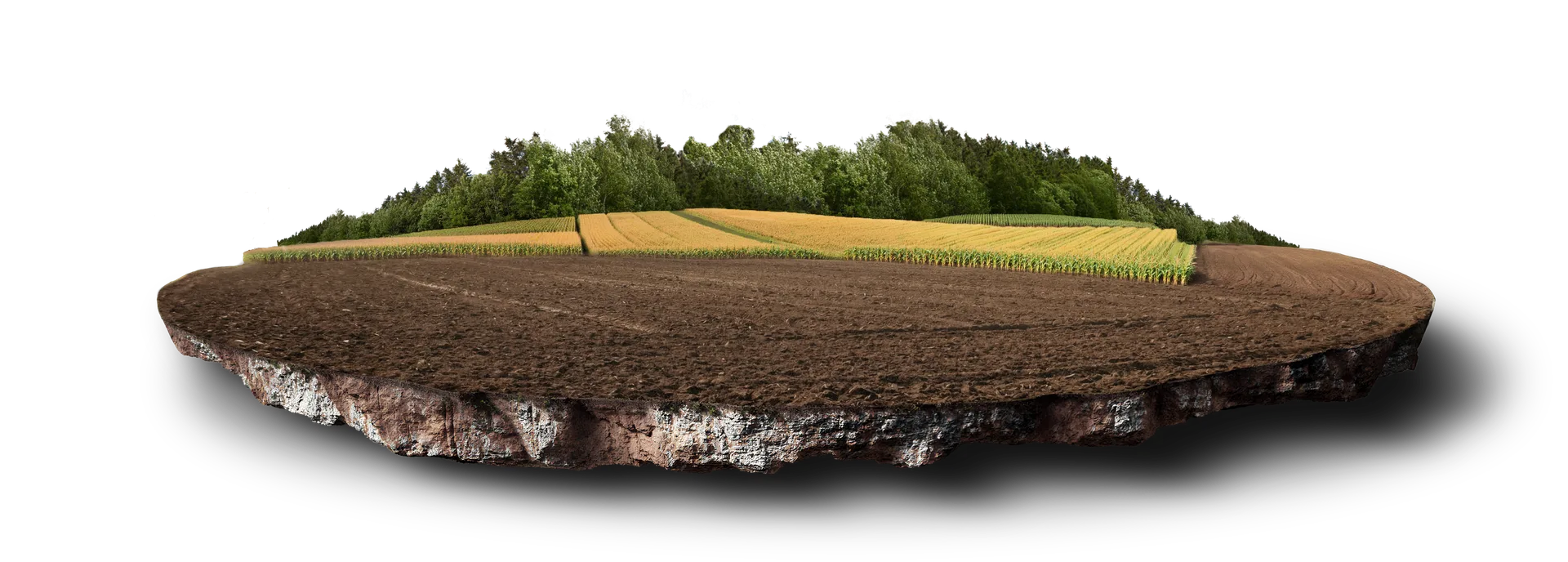
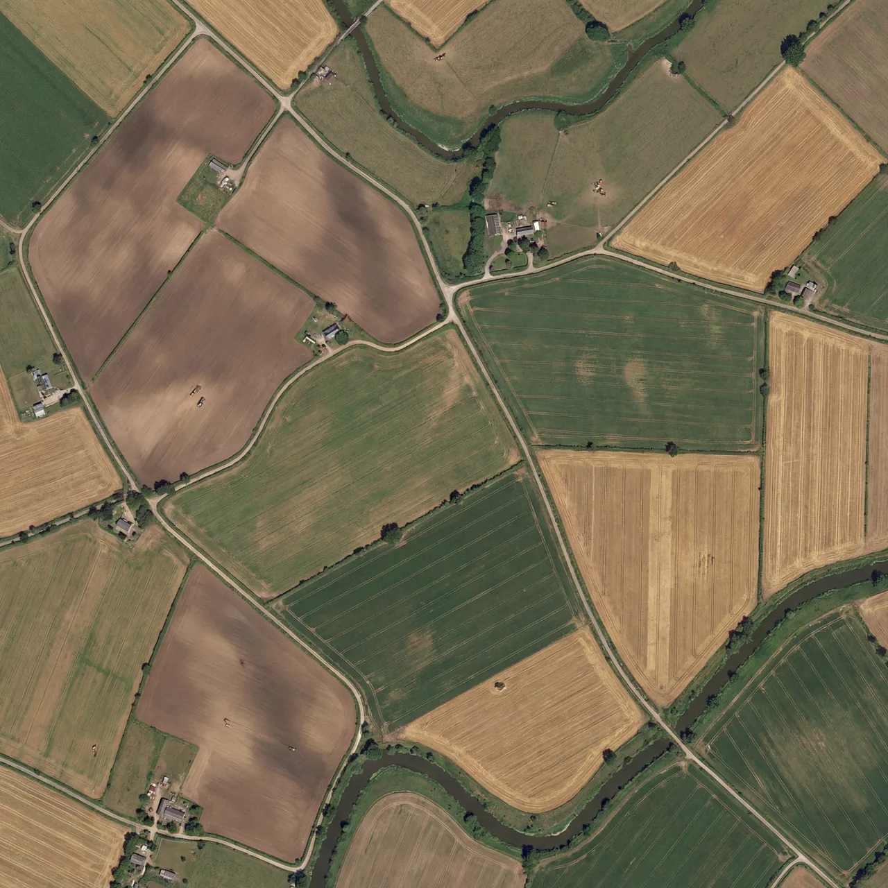
Data-driven ERW site selection
Key soil parameters relevant for weathering and carbon capture are assessed remotely using historical and current sensing data — before committing to field campaigns, farmer onboarding or laboratory analyses.
This allows ERW project developers to focus resources on economically viable locations from the outset.
Economic Impact:
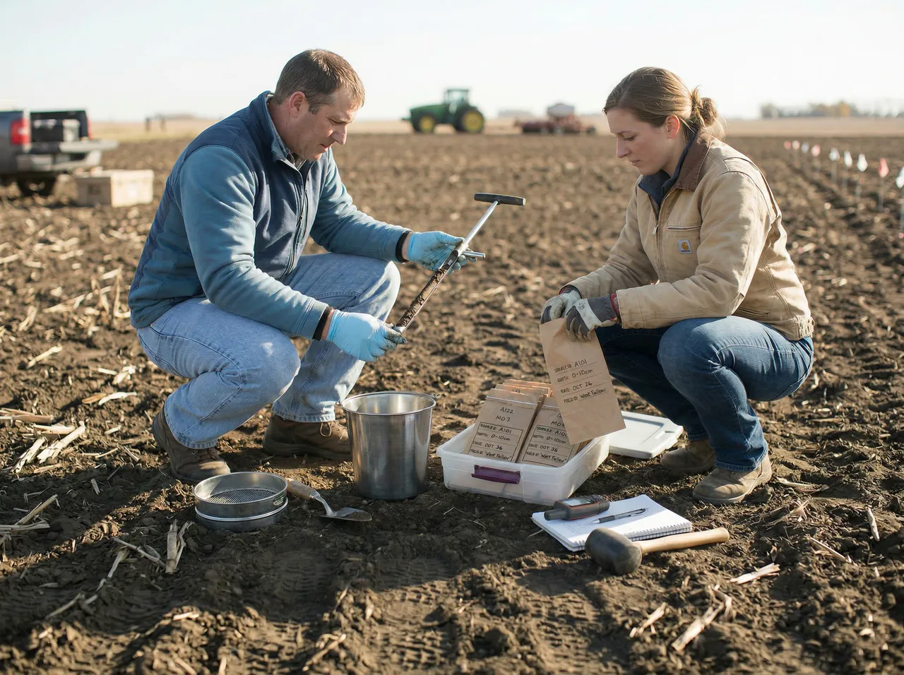
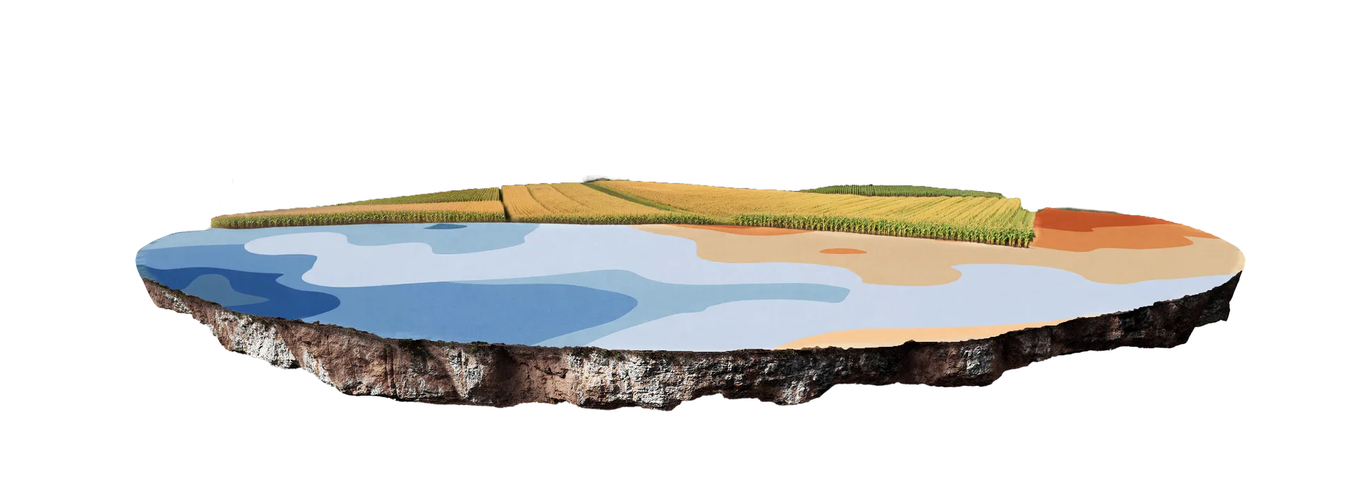
Soil zoning for sample reduction
Agricultural soils are spatially heterogeneous. Multi-Sensing maps this variability within and across fields and clusters areas with similar soil properties.
Based on these soil zones, model-based sampling strategies can be derived and significantly reduce sample numbers while maintaining accuracy.
Economic Impact:
AEROC’s Multi-Sensing soil intelligence is being developed on the foundation of hands-on Enhanced Rock Weathering experience, institutional funding and established connections within the agricultural and ERW ecosystem.